Hours, prices and access verified by the Connemara Tours team — last checked 2026-09-18.
Connemara is a region, not a single place, so the map is the first thing to
settle. One road runs through it, and every day out follows part of it. Planning a
Connemara tour from Galway? Here is where everything sits, and how far apart.
The N59: Galway to Clifden, Letterfrack and Leenane
Connemara, County Galway The N59
from Galway to Clifden, Letterfrack and Leenane
The N59 is the road you will spend your day on. It leaves Galway heading north-west, through
Oughterard and Maam Cross, and crosses the bog to Recess. From there it runs west to Clifden,
then north to Letterfrack, Kylemore and Leenane, and on to Westport in County Mayo.
Almost every stop you read about sits on it or just off it, and the Twelve Bens fill the view
between Recess and Clifden.
The lake road and the coast road
Out of Galway you have two choices. The lake road is the N59 itself, past Lough Corrib and
Aughnanure Castle near Oughterard. The coast road follows Galway Bay west through An
Spidéal and the Gaeltacht villages.
The tours use both, and each day drives its own loop. Lally Tours goes out by Oughterard and
Maam Cross to Leenane and returns by Spiddal. The choice days go out by Screeb to Clifden and the
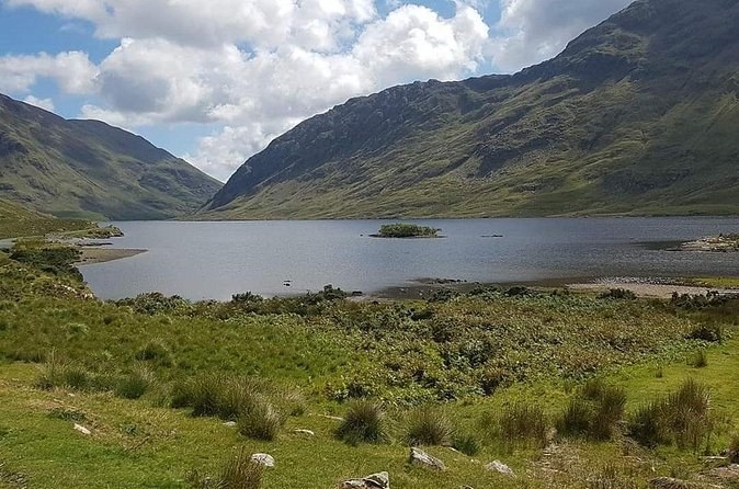
Sky Road, then come back through the Inagh Valley past Lough Inagh. The Cong day crosses into
County Mayo by Lough Nafooey to finish in Cong.
Where the park entrance is
The national park’s visitor centre is the one entrance you need. It sits on the N59 near
Letterfrack. Coming from Leenane or Westport, drive about 200 m beyond the village. Coming from
Clifden, the turn is signed on your right before you reach Letterfrack.
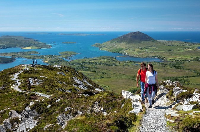
All four waymarked trails start at the visitor centre, and the car park is free. The summit of
Diamond Hill rises straight behind it. From the top you look over the Twelve Bens, and down to
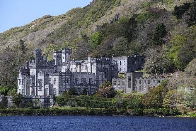
Kylemore Abbey on its lough.
Kylemore, a few kilometres on
Kylemore Abbey stands on the N59 beyond Letterfrack, on the road to Leenane. The abbey gives
its own distances: 5 km from Letterfrack, 20 km from Clifden, 51 km from Westport and 80 km from
Galway city.
The abbey sits across its lough from the park. The two are
neighbours, but no shared day from Galway gives you time at both.
The two Galway kerbs
In Galway city, the shared days leave from two kerbs a few minutes apart. Lally Tours leaves
from outside the HYDE Hotel on Forster Street. Wild Atlantic Way Day Tours, Galway Tour Company
and Ireland Wild Escapes leave from outside the Kinlay Hostel on Merchants Road, off Eyre Square.
The private cars collect you where you stay.
Found where you start?
Compare the days that leave from each kerb, with the long stop and the Kylemore ticket shown on every card.
In the west of County Galway, between Galway city and Killary Harbour. The coast runs from Galway Bay to Killary, on the Wild Atlantic Way.
Where is the entrance to Connemara National Park?
On the N59 near Letterfrack. From Leenane or Westport it is about 200 m beyond the village; from Clifden the turn is on your right before you reach it.
How far is Kylemore Abbey from the national park?
A few kilometres. Kylemore gives its distance as 5 km from Letterfrack, on the N59 towards Leenane.
Which road should I take from Galway?
The N59 through Oughterard is the lake road, and the fastest way to the mountains. The coast road by Spiddal is slower and runs through the Gaeltacht.
Is there a map of the park trails?
The four waymarked trails all start at the visitor centre and are marked by colour. For the wider park, bring OS sheet 37 and a compass.
Where these facts come from
Distances and directions come from Connemara National Park’s own pages and from Kylemore
Abbey’s, read in 2026. The two routes come from Connemara’s tourism site. Each
tour’s loop comes from its own itinerary.
A minivan day west by the Screebe waterfall to Clifden and the Sky Road, then three hours at the national park or Kylemore Abbey: you pick one on the day.